Log in
All resources
Create a design
33,312 Free Images of 1639 Maps
maps in the library of congress
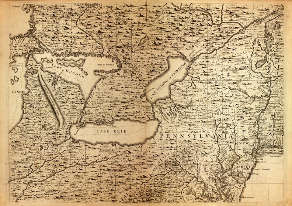
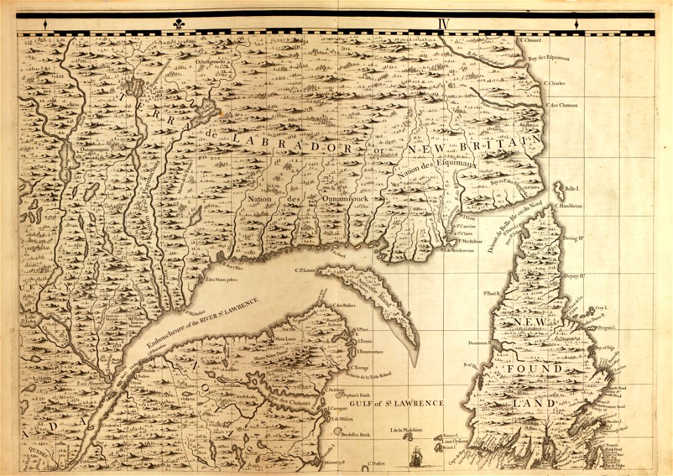
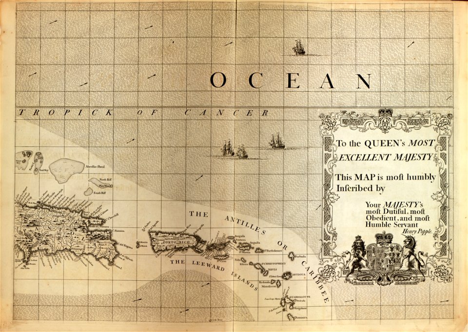
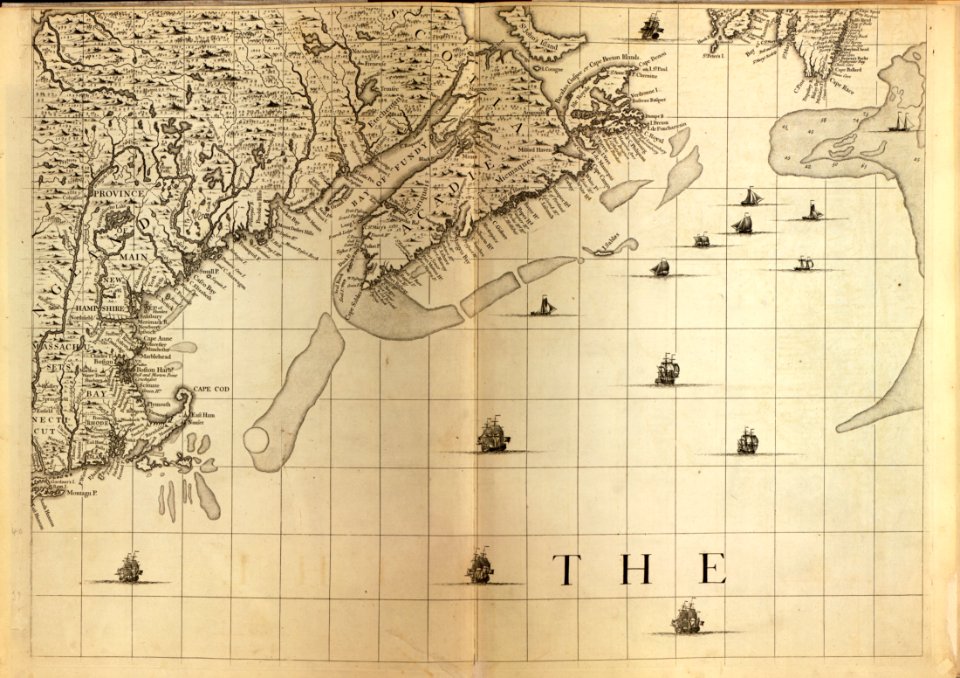
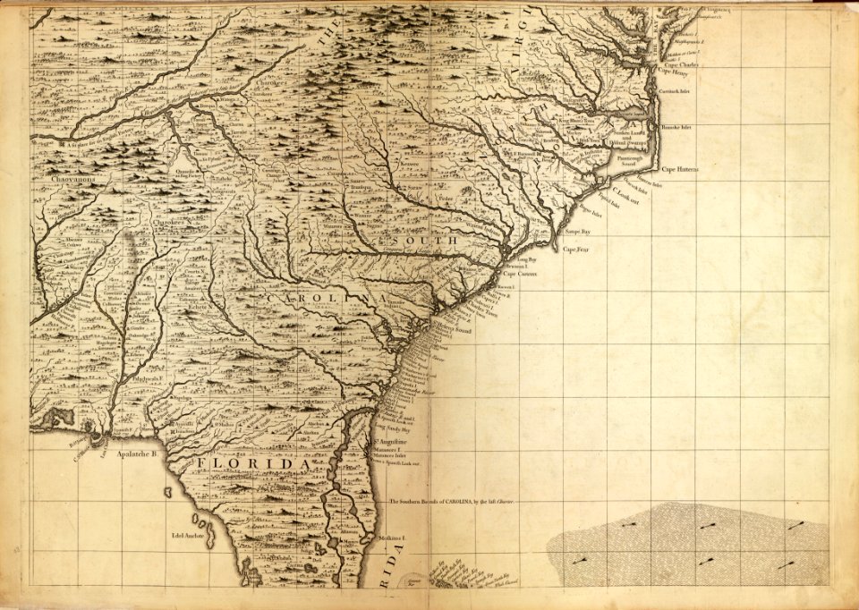
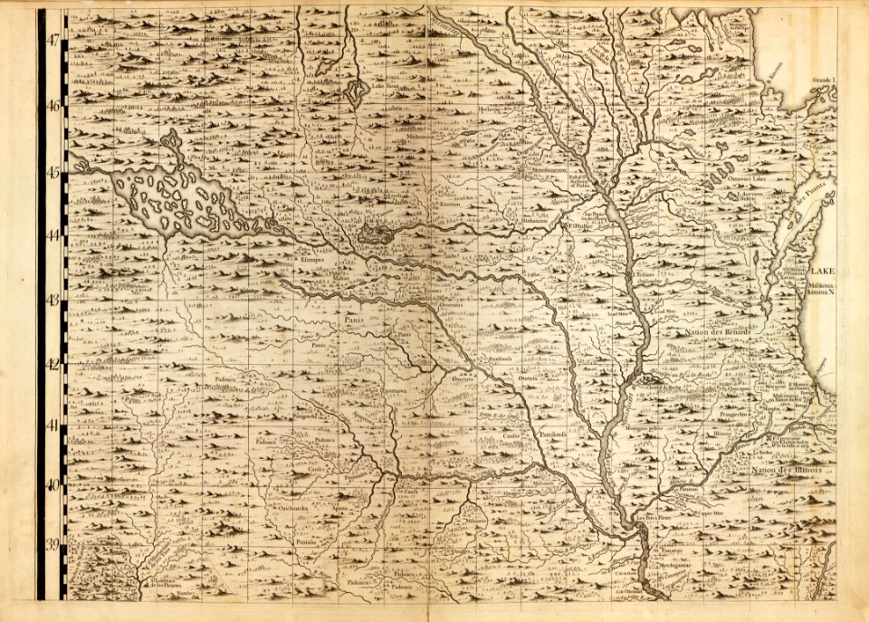
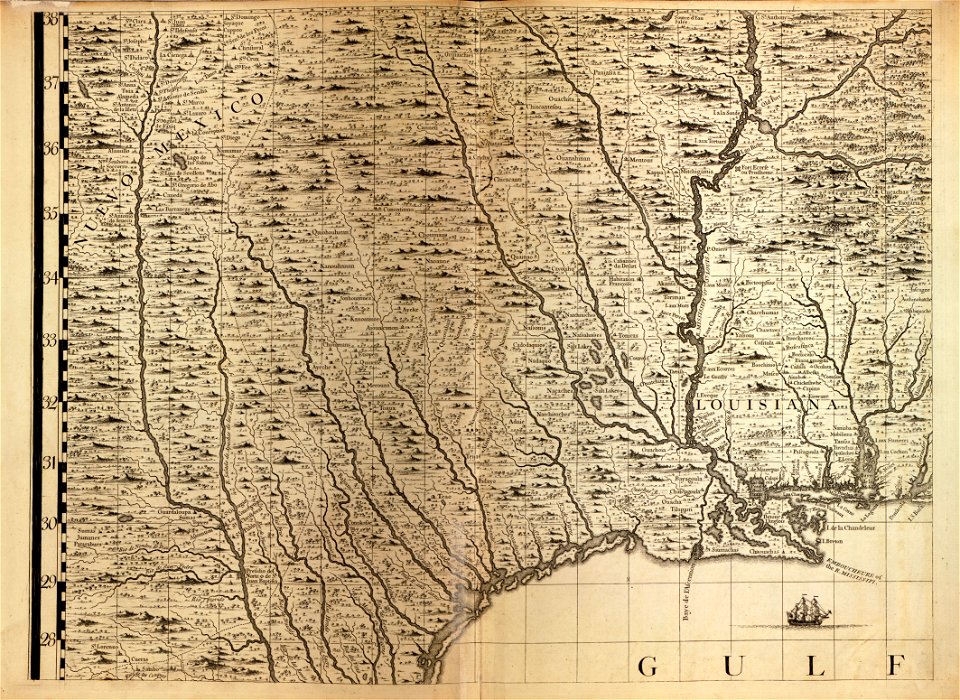
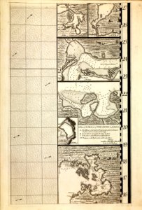
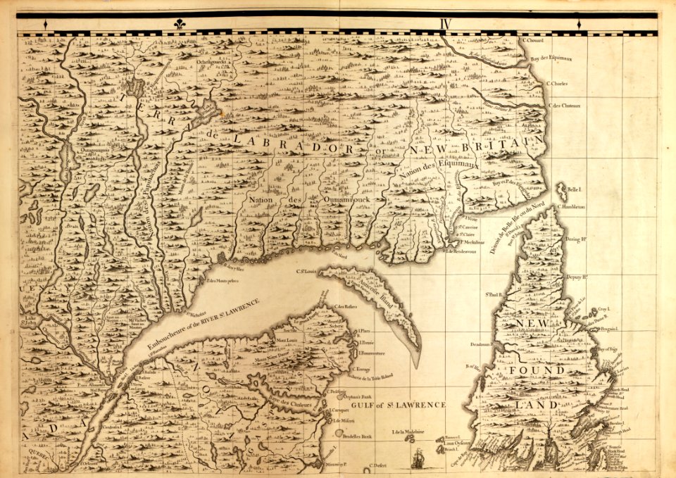
a map of the british empire in america with the french and spanish settlements adjacent thereto
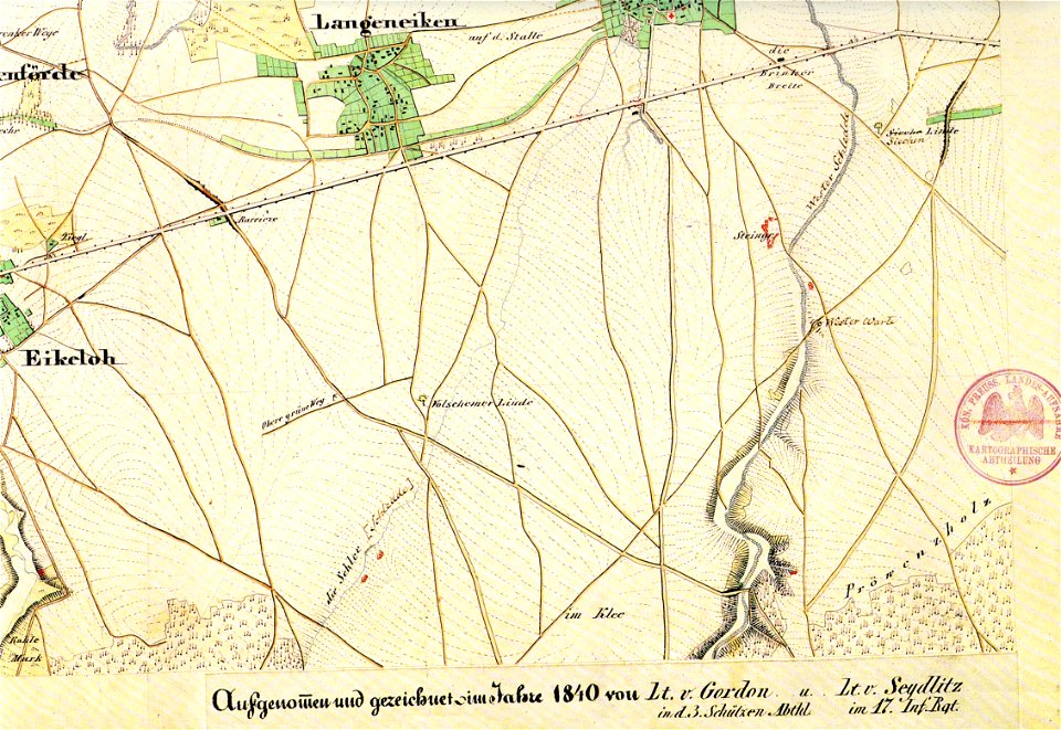
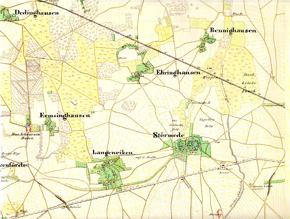
störmede
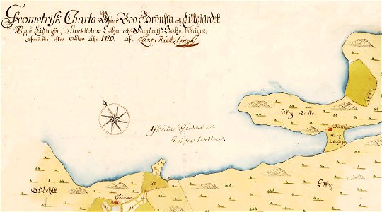
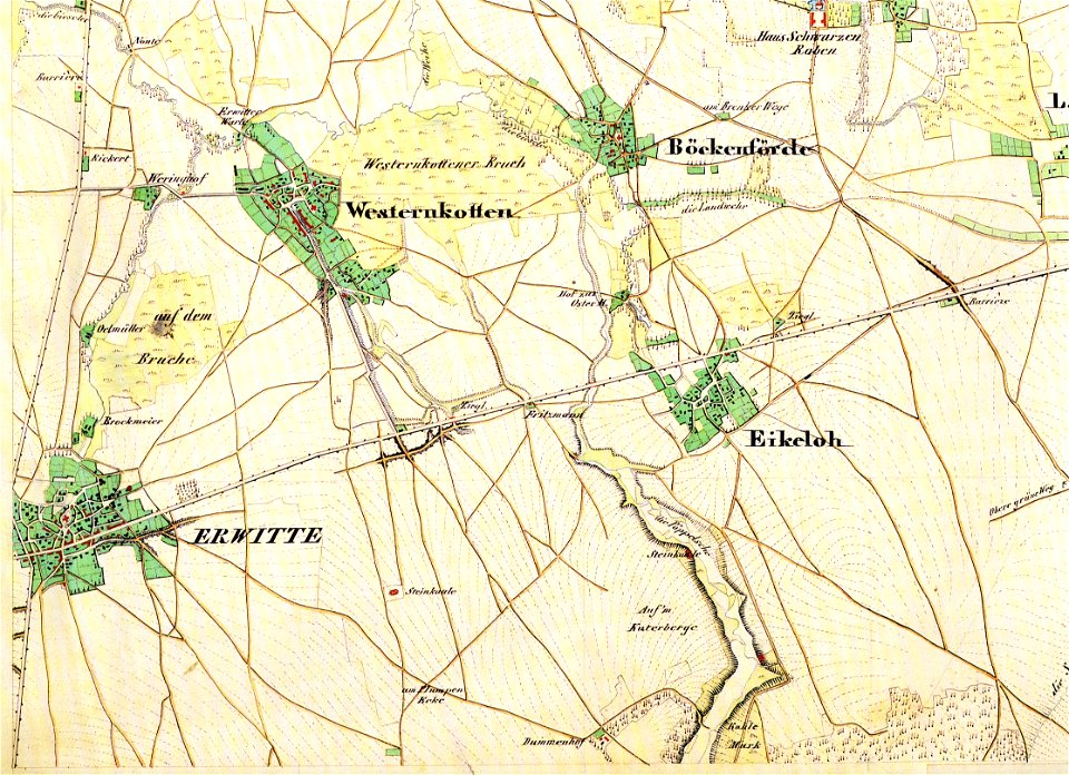
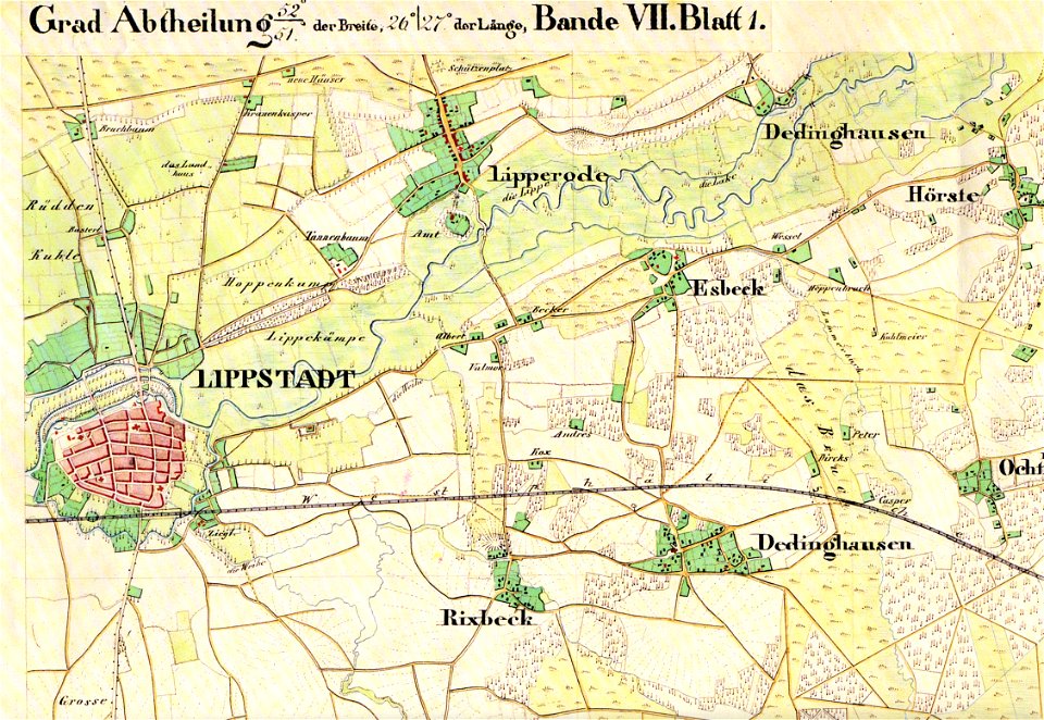
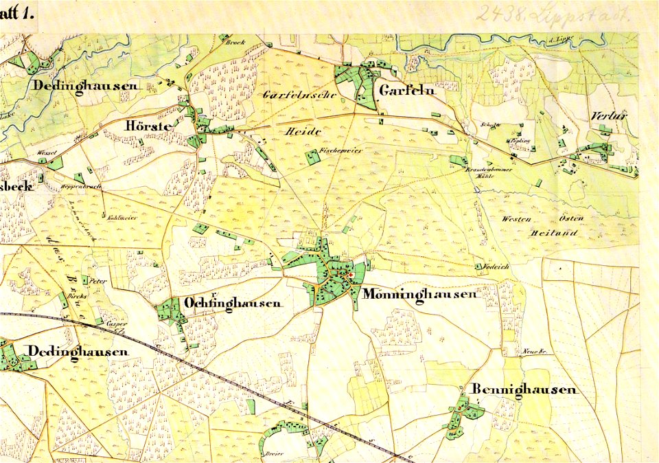
maps of lippstadt
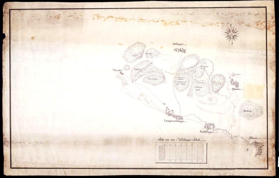
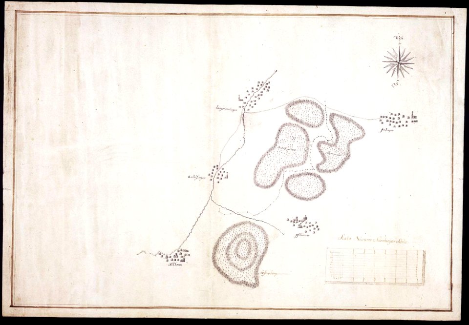
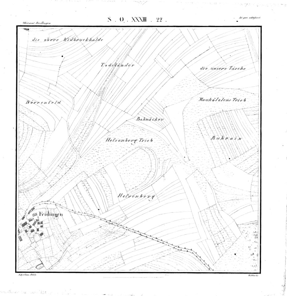
maps of württemberg
langenenslingen
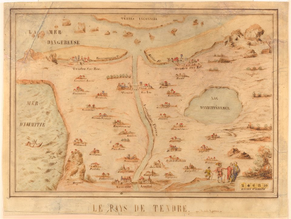
cornell: persuasive cartography: the pj mode collection
1639 paintings
gerard valck
prints from bonne atlas de toutes les parties at the peace palace library
a map of the british empire in america with the french and spanish settlements adjacent thereto
maps in the library of congress
a map of the british empire in america with the french and spanish settlements adjacent thereto
maps in the library of congress
a map of the british empire in america with the french and spanish settlements adjacent thereto
maps in the library of congress
a map of the british empire in america with the french and spanish settlements adjacent thereto
maps in the library of congress
a map of the british empire in america with the french and spanish settlements adjacent thereto
maps in the library of congress
a map of the british empire in america with the french and spanish settlements adjacent thereto
maps in the library of congress
a map of the british empire in america with the french and spanish settlements adjacent thereto
maps in the library of congress
a map of the british empire in america with the french and spanish settlements adjacent thereto
maps in the library of congress
a map of the british empire in america with the french and spanish settlements adjacent thereto
maps in the library of congress
a map of the british empire in america with the french and spanish settlements adjacent thereto
maps in the library of congress
a map of the british empire in america with the french and spanish settlements adjacent thereto
maps in the library of congress
a map of the british empire in america with the french and spanish settlements adjacent thereto
maps in the library of congress
a map of the british empire in america with the french and spanish settlements adjacent thereto
maps in the library of congress
a map of the british empire in america with the french and spanish settlements adjacent thereto
maps in the library of congress
a map of the british empire in america with the french and spanish settlements adjacent thereto
maps in the library of congress
a map of the british empire in america with the french and spanish settlements adjacent thereto
maps in the library of congress
a map of the british empire in america with the french and spanish settlements adjacent thereto
maps in the library of congress
a map of the british empire in america with the french and spanish settlements adjacent thereto
maps in the library of congress
a map of the british empire in america with the french and spanish settlements adjacent thereto
maps in the library of congress
a map of the british empire in america with the french and spanish settlements adjacent thereto
maps in the library of congress
a map of the british empire in america with the french and spanish settlements adjacent thereto
maps in the library of congress
a map of the british empire in america with the french and spanish settlements adjacent thereto
maps in the library of congress
a map of the british empire in america with the french and spanish settlements adjacent thereto
maps in the library of congress
a map of the british empire in america with the french and spanish settlements adjacent thereto
maps in the library of congress
a map of the british empire in america with the french and spanish settlements adjacent thereto
maps in the library of congress
a map of the british empire in america with the french and spanish settlements adjacent thereto
maps in the library of congress
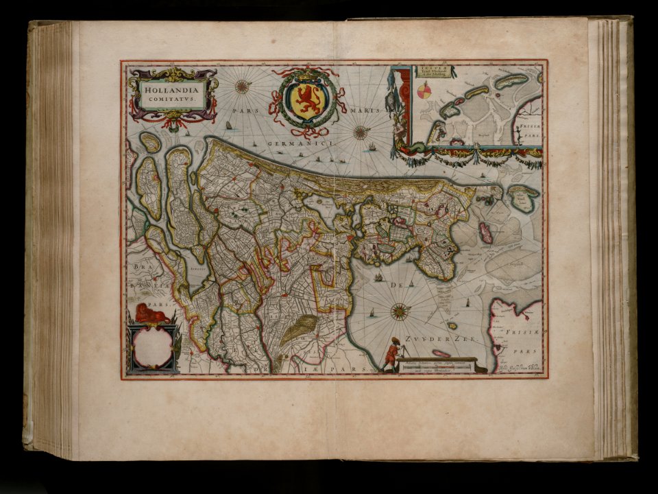
joan blaeu
old map
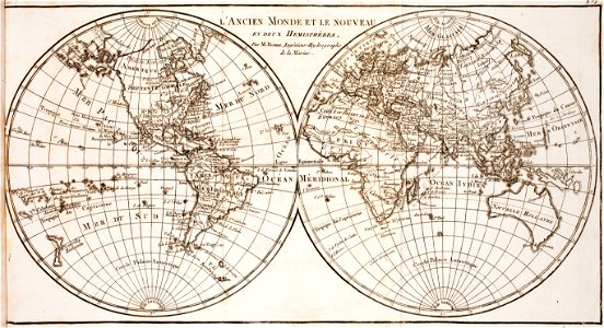
world map
project
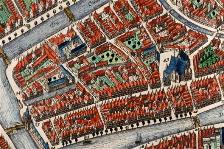
old maps of île de la cité
île de la cité in art
map of paris by claes jansz. visscher - derivate files
churches in paris on the maps
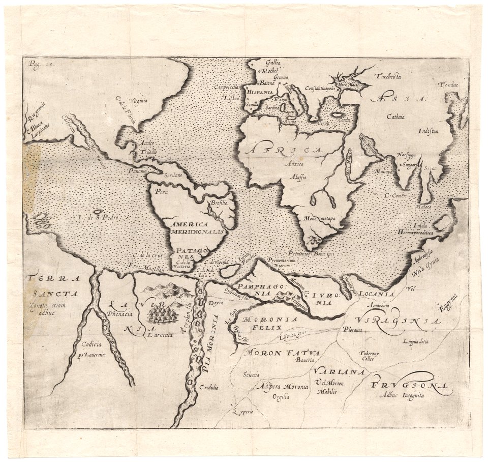
cornell: persuasive cartography: the pj mode collection
cornell university library
theodor de bry
amazon
angels with torches
andrea camassei
17th-century oil on panel paintings in the united states
17th-century religious paintings in the united states
17th-century paintings of angels with humans
paintings of angels in spain
17th-century oil on canvas paintings in the netherlands
1630s still-life paintings
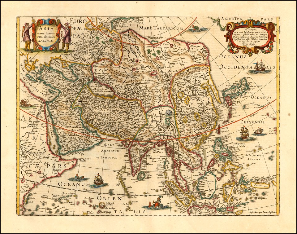
old maps of india
old maps of tibet
maximilien de béthune
duc de sully
maps of the dutch east india company - madagascar
1635
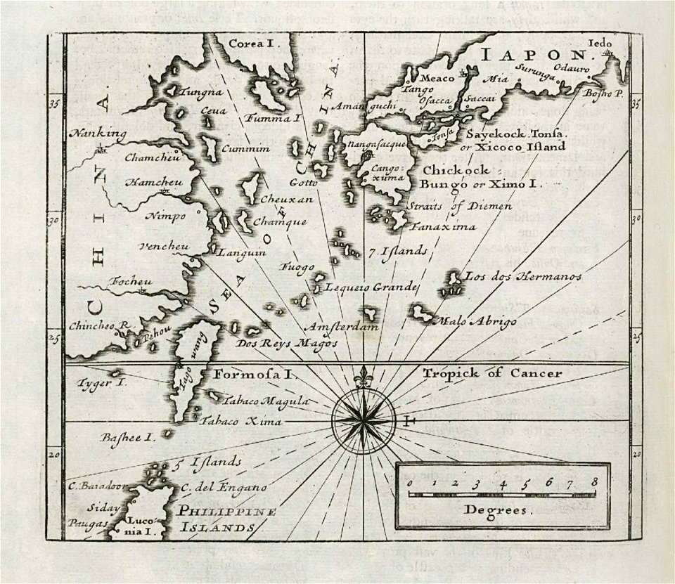
maps of the dutch east india company - japan
1732
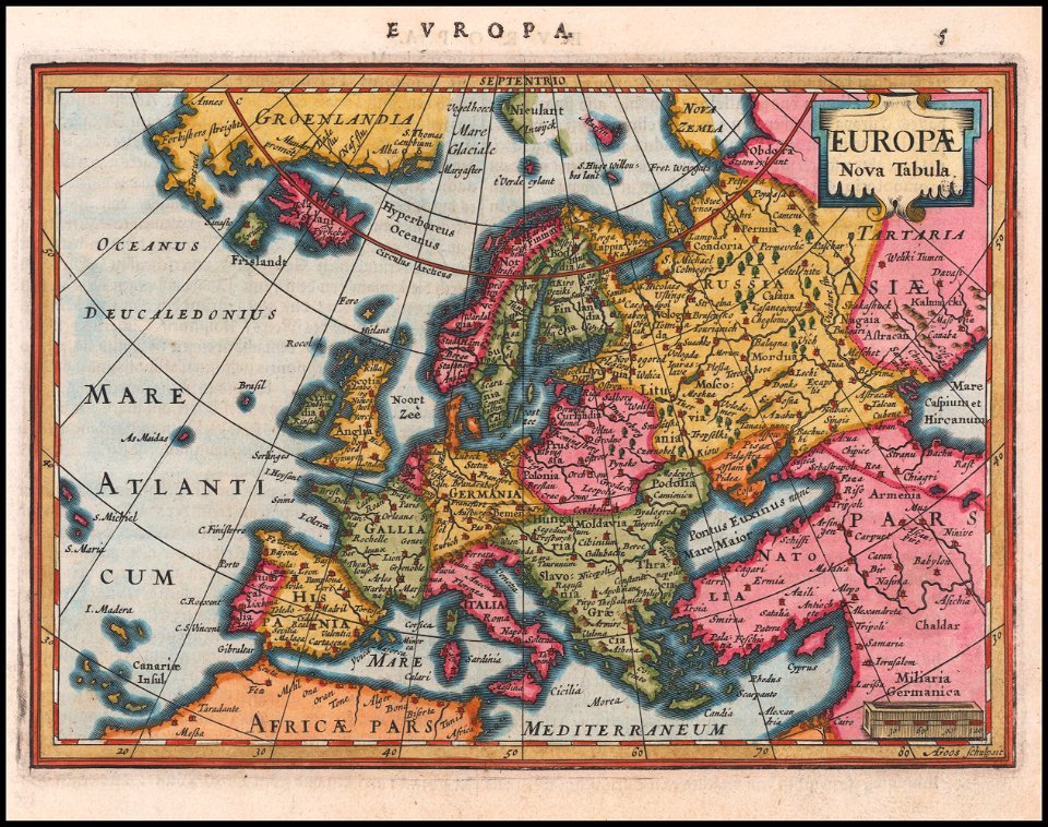
maps made in the 17th century
gerard valck
maps made in the 18th century
gerard valck
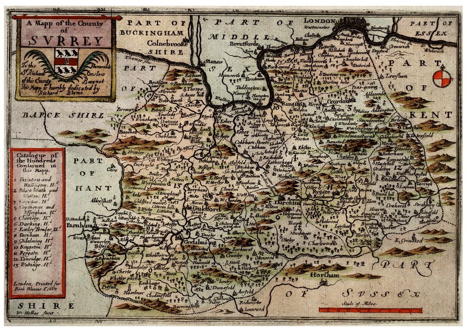
university of toronto wenceslas hollar digital collection
hollar maps and plans of london
cornell university library
puritan
maps in utrecht university library
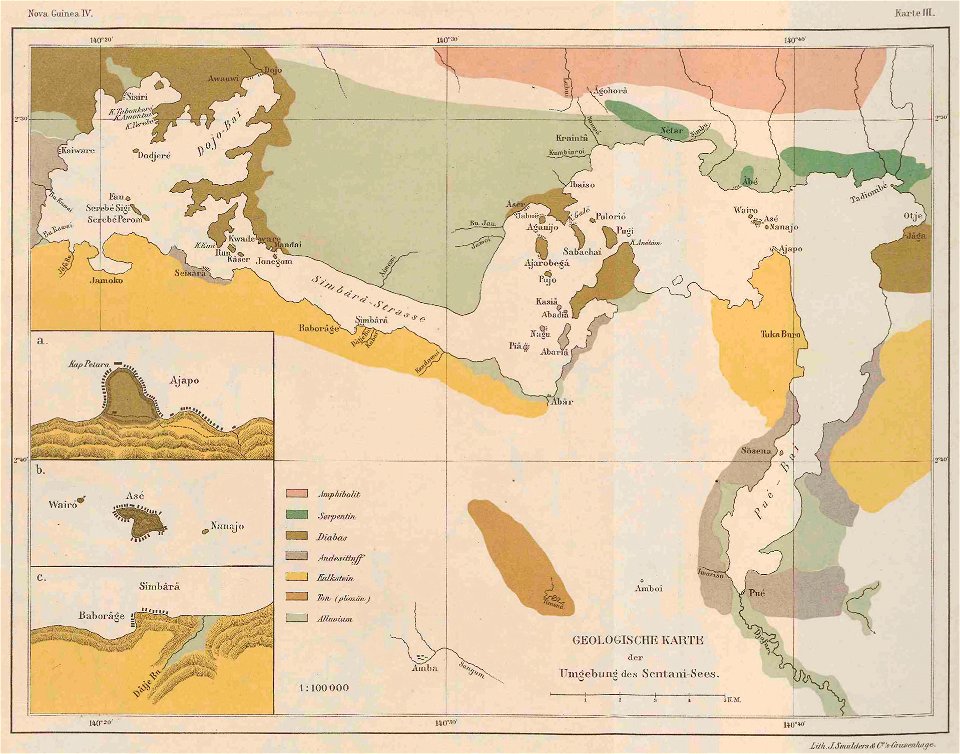
lake sentani
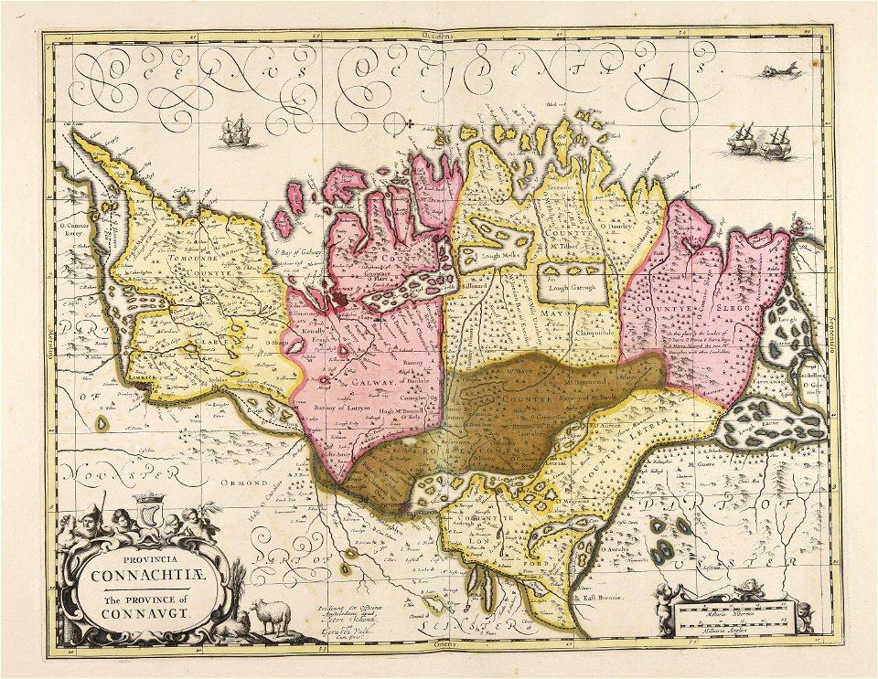
old maps of ireland
gerard valck
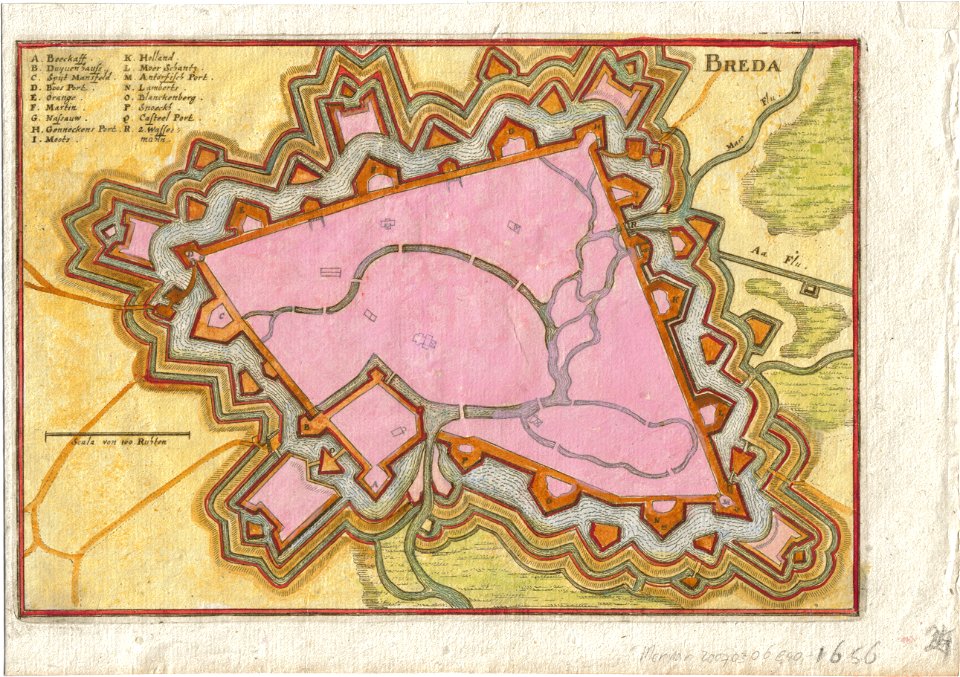
coats of arms of breda
netherlands
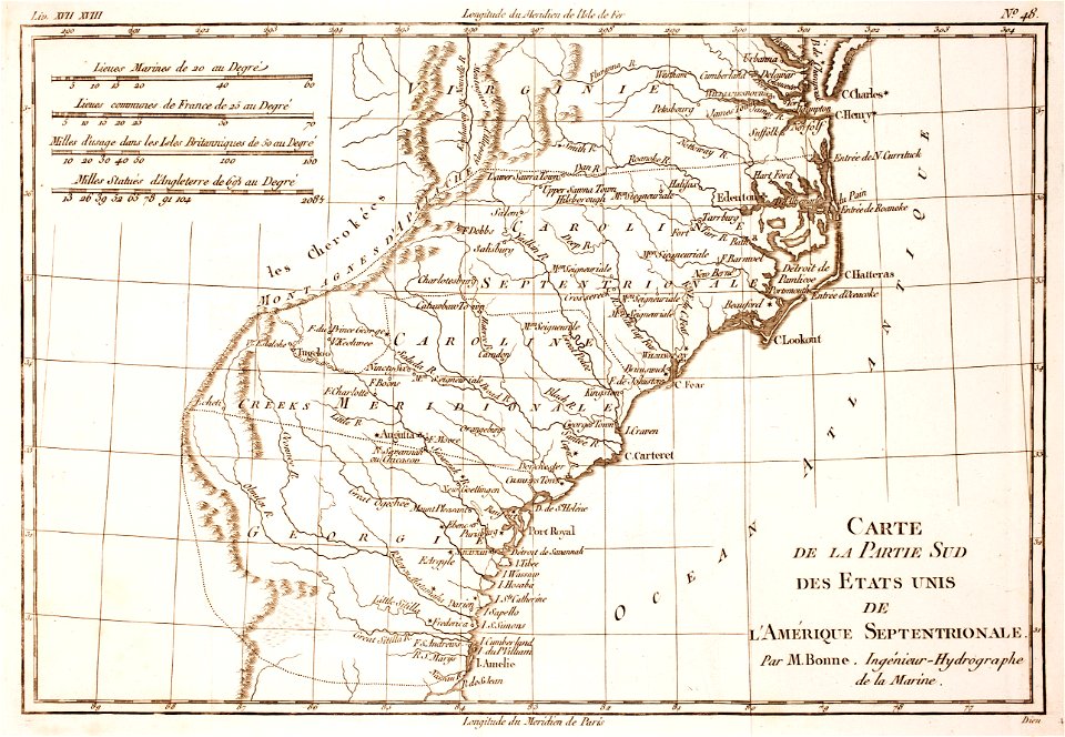
18th-century maps of north carolina
1780 maps
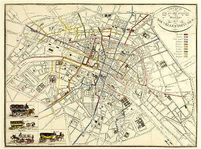
horse-drawn buses in paris
historical buses in paris
images from the bulgarian archives state agency
maps by sebastian münster
old maps of leiden
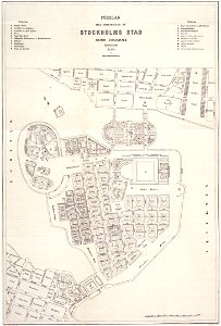
maps of gamla stan
maps of éfaté island
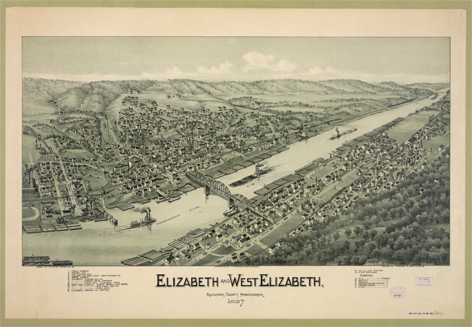
1897 maps of pennsylvania
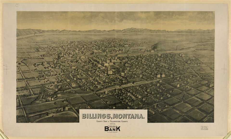
maps of billings
montana
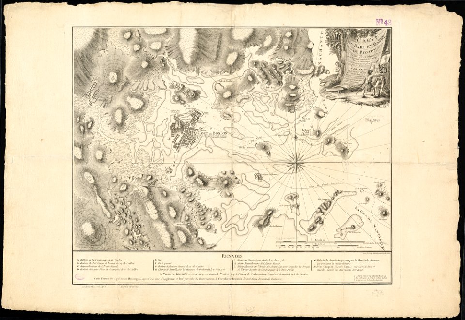
1776 maps of boston
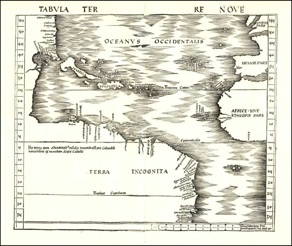
maps by martin waldseemüller
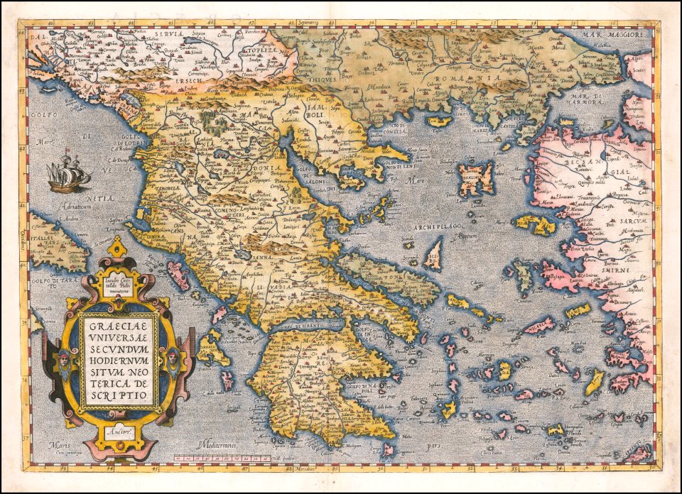
maps by abraham ortelius
old maps of anjouan
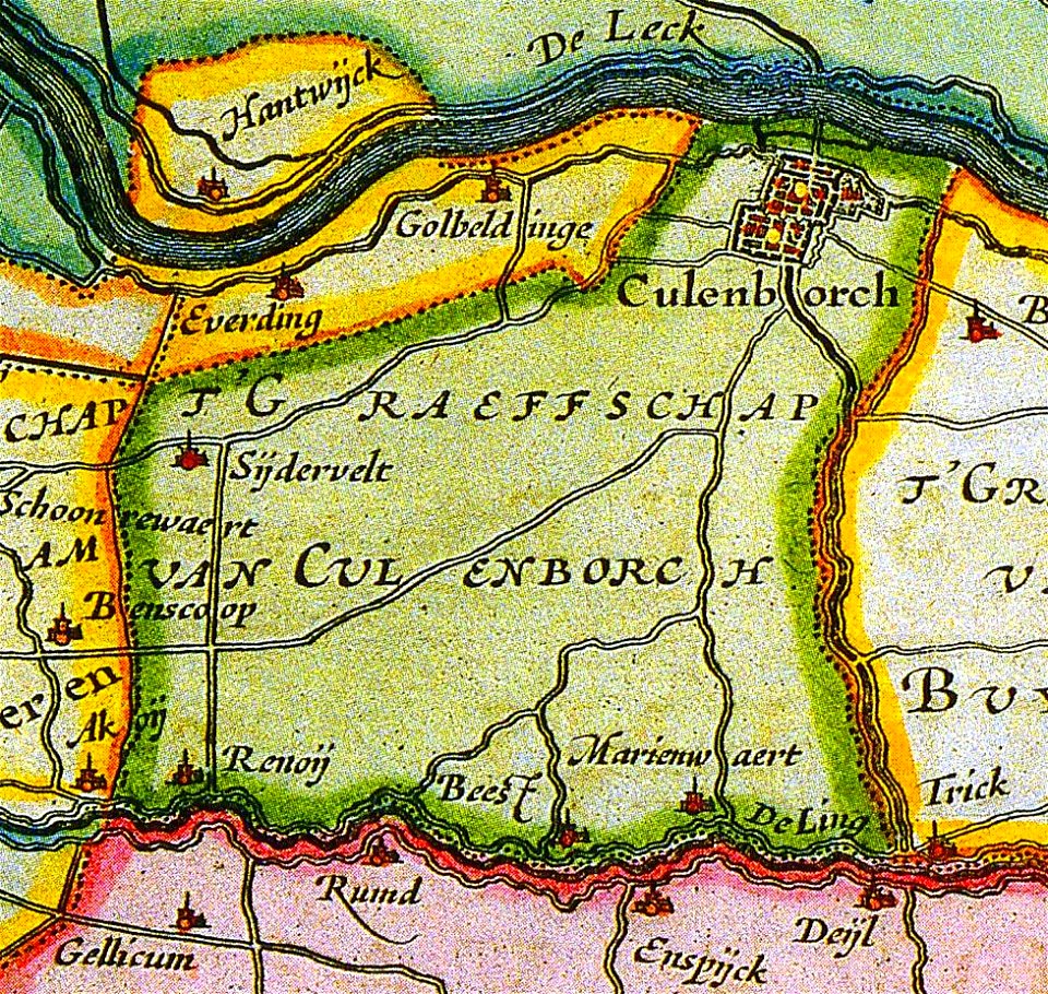
old maps of culemborg
old maps of breda
maps by sebastian münster
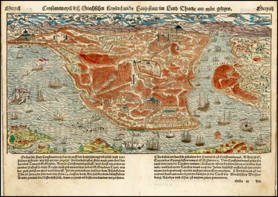
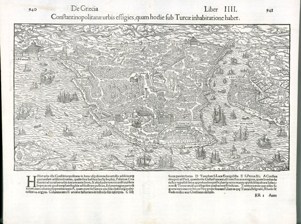
old maps of istanbul
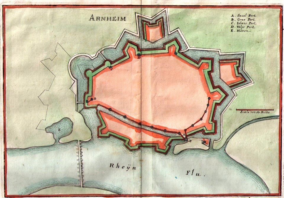
old maps of arnhem
maps by jodocus hondius
matthäus merian
1636 maps
maps by matthäus seutter
maps of württemberg
langenenslingen
maps of württemberg
langenenslingen
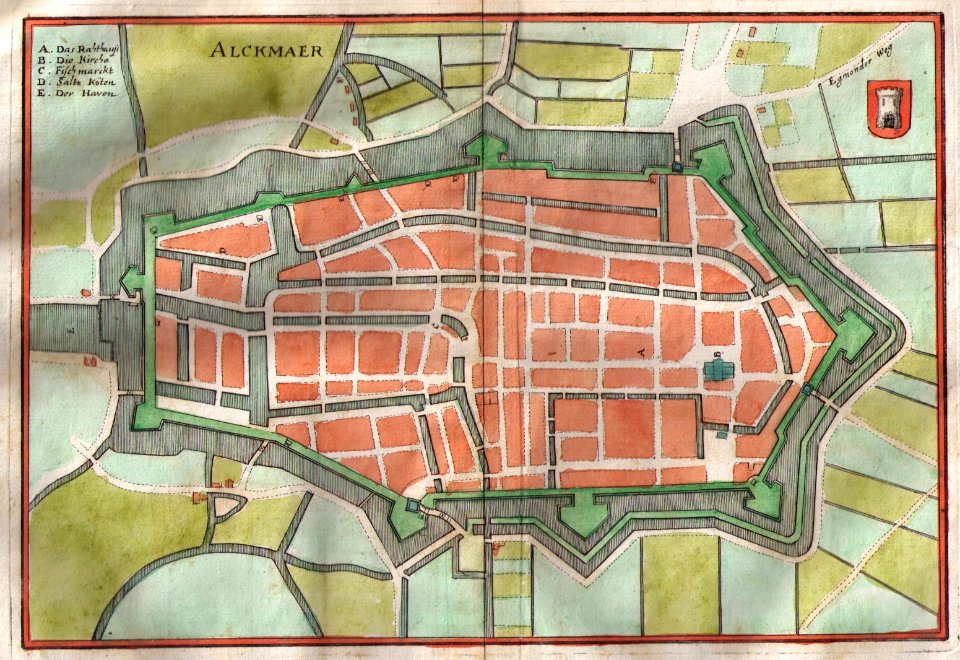
old maps of alkmaar
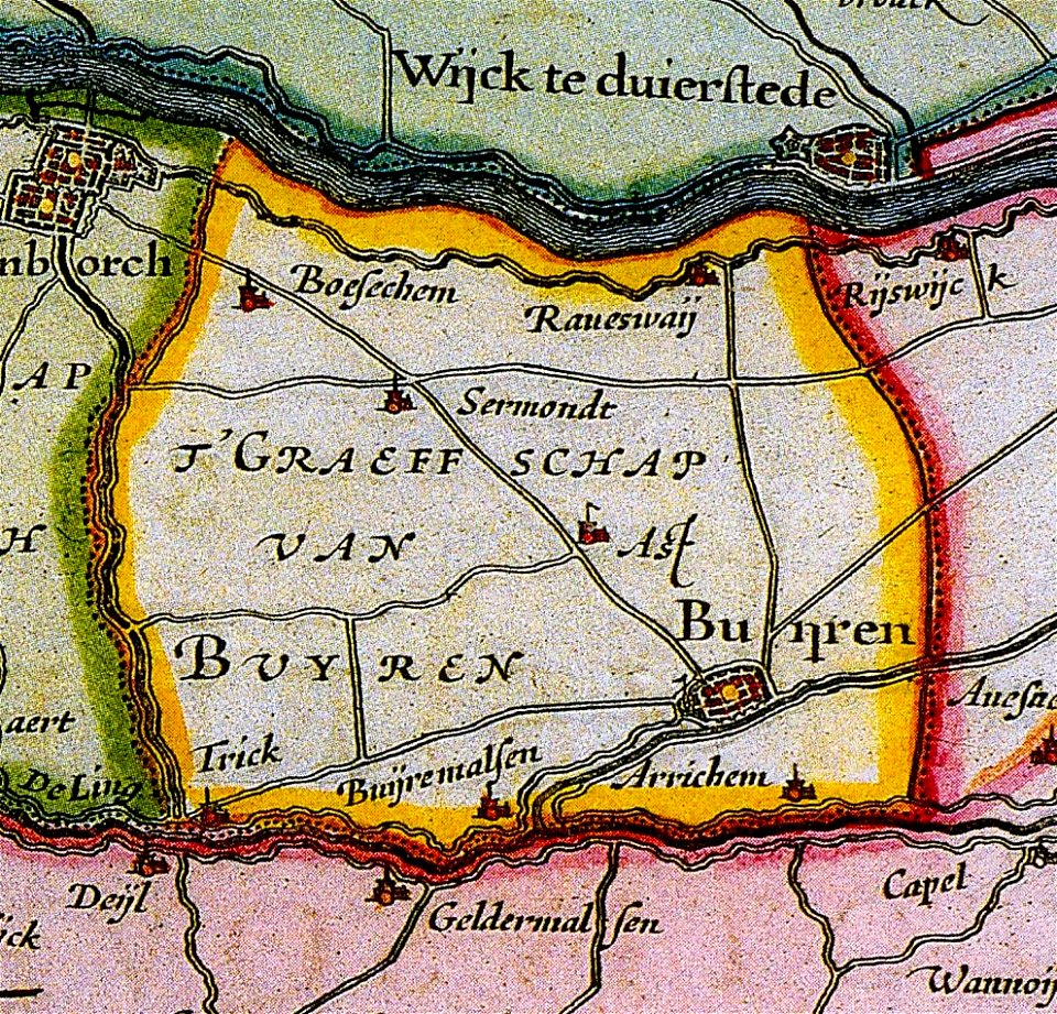
maps of buren
gelderland
maps by jodocus hondius
maps of württemberg
langenenslingen
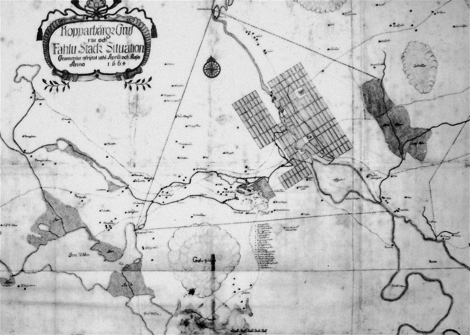
old maps of falun
maps of mechelen
mechelen
maps of württemberg
langenenslingen
maps of lidingö
grönstaviken
maps of württemberg
langenenslingen
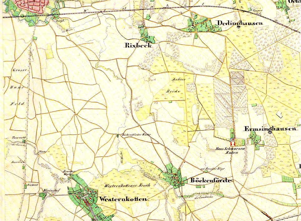
maps of lippstadt
störmede
maps of lippstadt
störmede
maps of lippstadt
störmede
maps of lippstadt
störmede
maps of lippstadt
störmede
maps of lippstadt
störmede
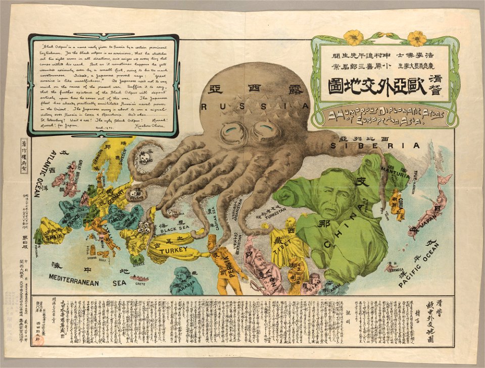
19th-century satirical maps
maps by antonio zatta
19th-century satirical maps
maps by antonio zatta
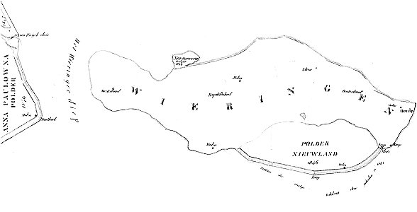
maps of wieringen
wieringen
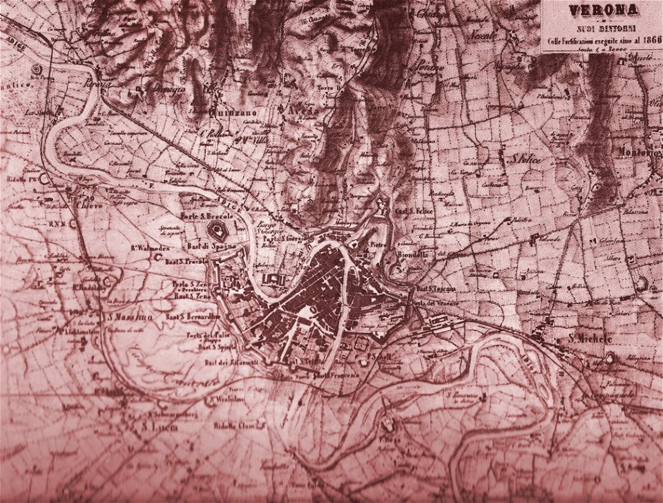
old maps of verona
lepsius-projekt - maps
abydos
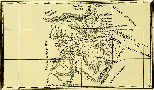
old maps of pará
maps of maui
maui
old maps of piedmont
old maps of verona
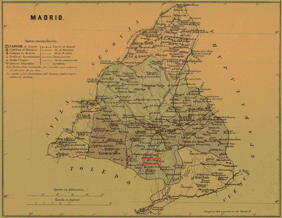
maps of parla
humanejos
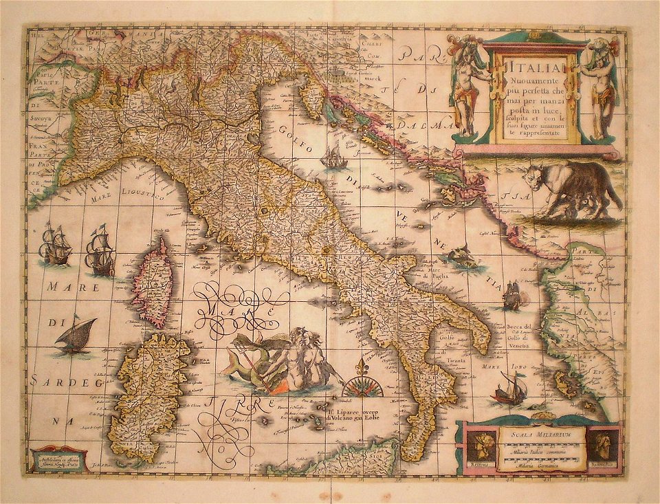
old maps of italy
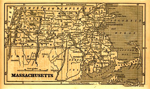
1855 maps of massachusetts
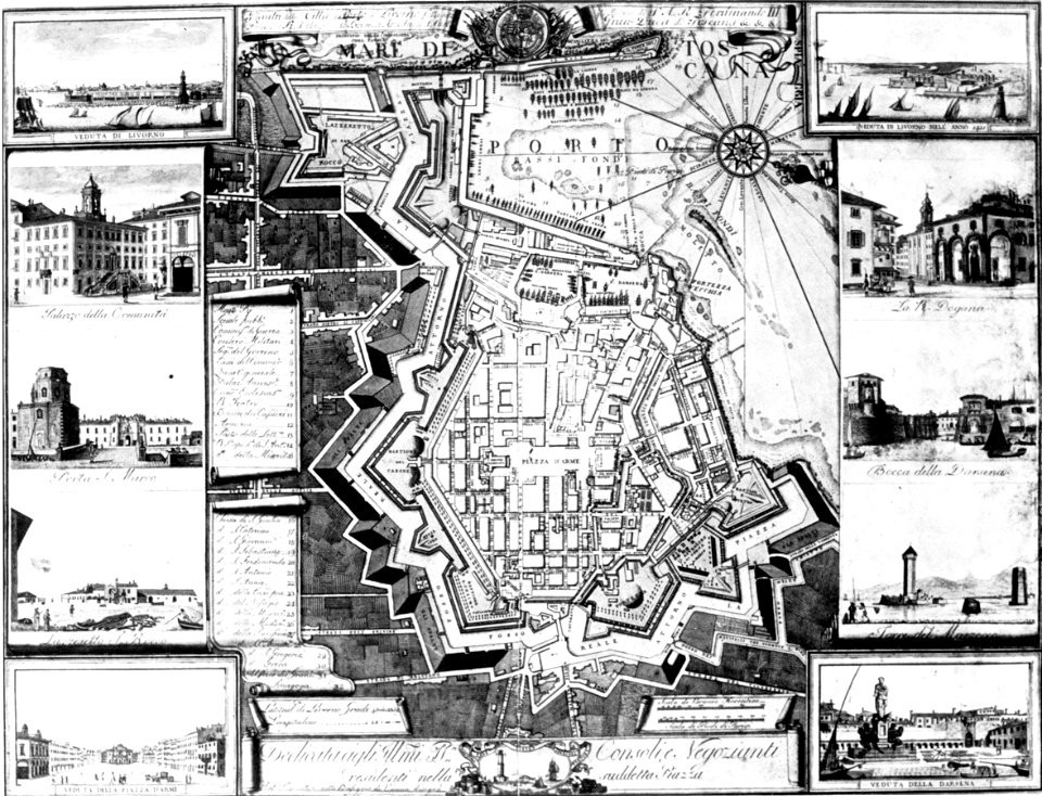
old maps of livorno
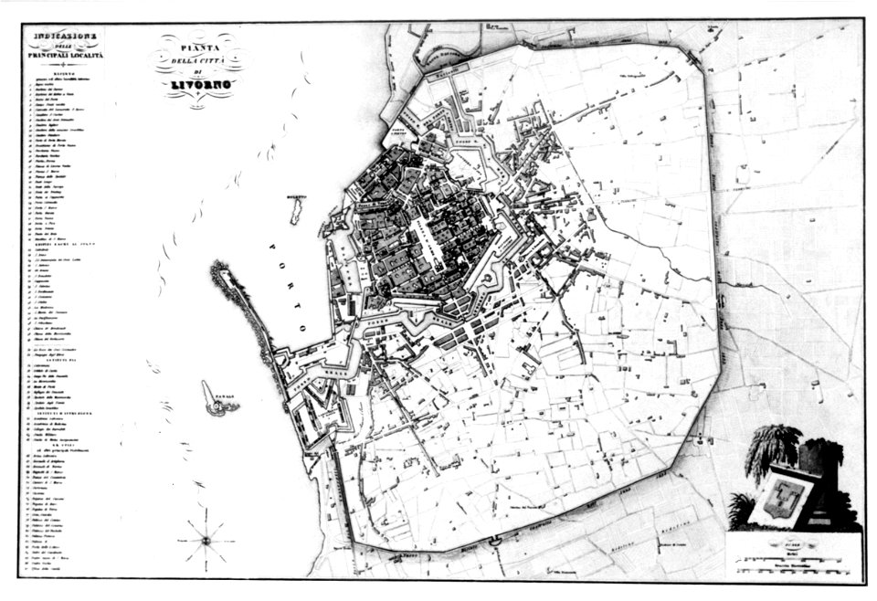
old maps of livorno
4301 - 4400 of 33,312
Next page
/ 334